Engineering our
mountain communities

Surveying
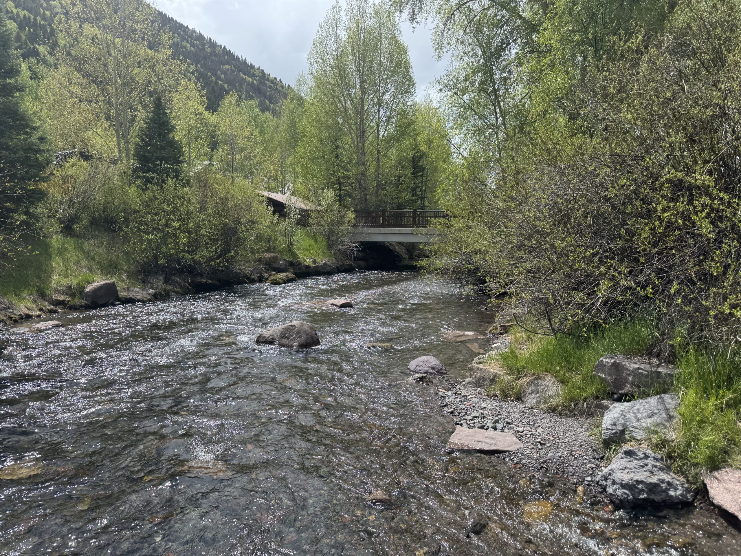
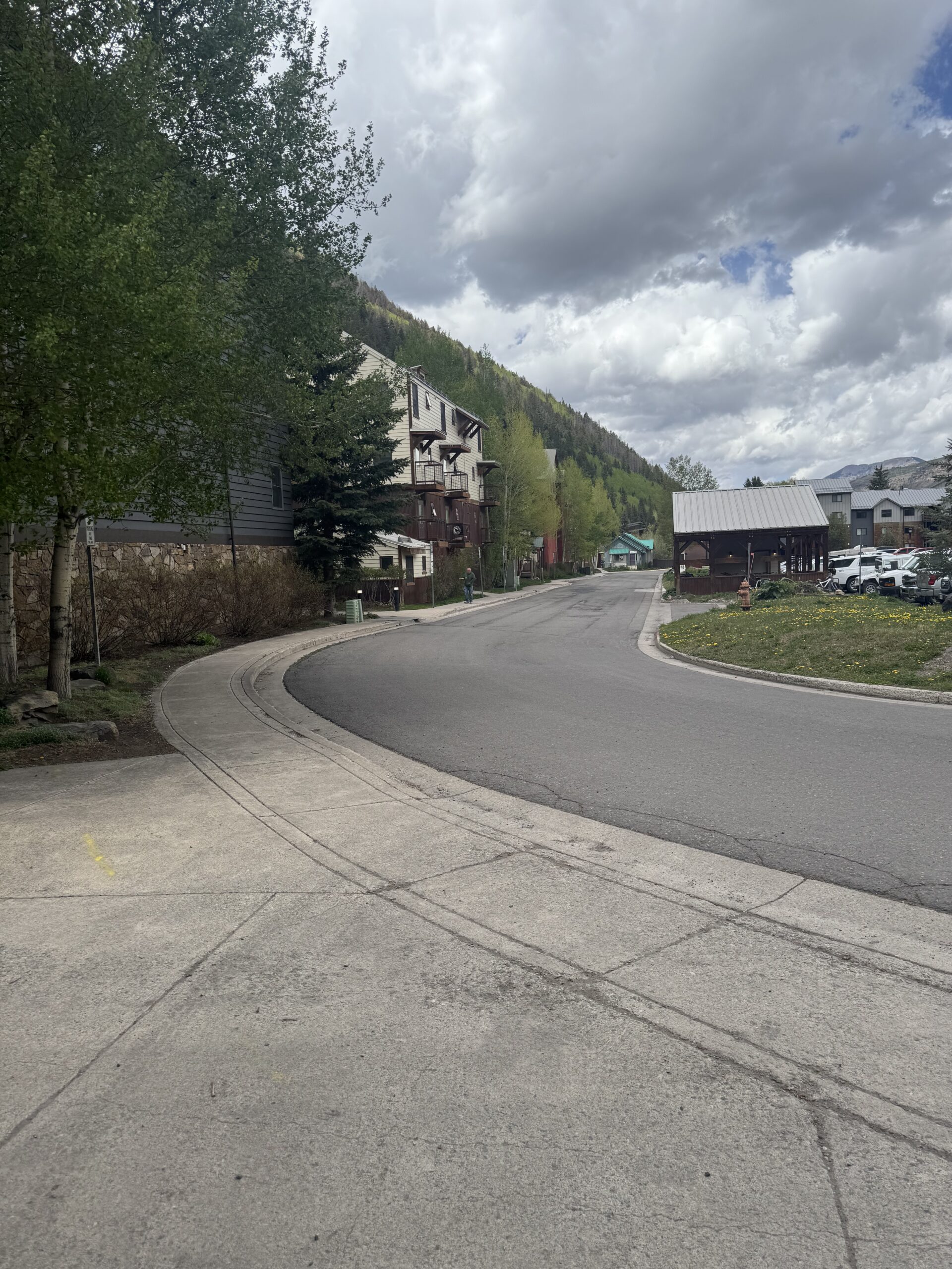
Roaring Fork Engineering completed the full survey scope for two Town of Telluride sites planned for affordable housing and a parking garage. Constraints on the sites include wetlands, steep slopes, and proximity to the San Miguel River.
Challenges & highlights
The sites are heavily constrained, with wetlands, steep slopes, utilities, easements, and proximity to the San Miguel River all shaping what can be built. Our team incorporated a floodplain analysis into the survey, mapping the river’s flood limits alongside the other site conditions. Capturing all of these constraints accurately in one dataset gives the design team a reliable picture of where development is possible.
The project is also highly visible. Telluride’s review process is rigorous, and the sites sit in the center of town where community interest is strong.
The results
The survey and platting work is complete and provides the foundation for the Town’s land use applications on both sites. The floodplain analysis and constraint mapping give decision-makers a clear and accurate account of site conditions. The sites are expected to deliver approximately 220 affordable housing units in a community where workforce housing is a pressing need.
Location: Telluride, CO
Infrastructure that lasts
Whether you’re planning a new development, upgrading public infrastructure, or improving community systems, our team is ready to help bring your project from concept to completion.