If you own a residential or commercial property that you would like to develop or sell, you may be wondering how long a land survey will take.
Or, maybe this is the first time you’ve had to schedule a land survey, and you’re wondering: what is this survey for, anyway? We’re happy to break down the land survey process and answer your questions about the timeline for a boundary survey for your land.
What Is Land Surveying?
Land surveying gives you critical information about your property and comes in a variety of survey types. The most common land survey is called a boundary survey. Boundary surveys map the boundaries of your property, along with the assets associated with your land.
Why Does Land Need to Be Surveyed?
A boundary land survey documents the boundaries and features of your property, allowing you to determine property value and providing a thorough land assessment prior to building a new construction on the land parcel.
When you need to sell your property, boundary surveys provide legal clarity on the land parcel. It provides accurate disclosure information as well, so that your buyers will be fully informed. We recommend a land survey prior to sale in order to avoid any accidental discrepancies that could devalue the property or lead to legal issues after selling.
If you’re looking to build on your land, a land survey can be ideal to ensure that you don’t encroach outside of your site’s actual boundary lines. It also allows you to comply with zoning regulations to avoid fines, and ensures you have all the information you need to plan your new construction’s layout.
How Long Does a Land Survey Take?
Land surveys can take varying amounts of time to complete depending on property size, features, and location. In general, though, a boundary survey takes about two to ten business days to complete. You should budget for at least ten business days, just in case.
Boundary land surveys are generally conducted through the following steps:
- Research: Your boundary land surveyors will begin the process by reviewing your property’s historical records, deeds, and previous surveys. This will look for discrepancies in the data as well.
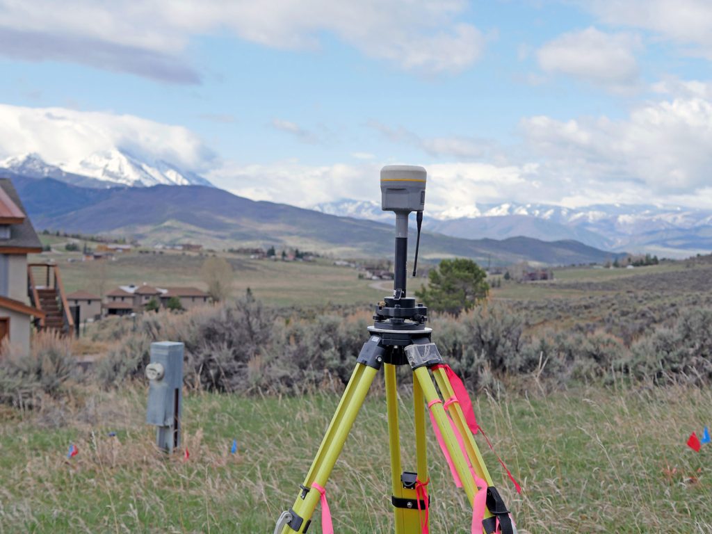
- Fieldwork: Next, the land surveyors will visit the property to measure and map it. This may involve the use of specialized equipment like GPS, total stations, and theodolites in order to collect precise data on land features and boundary markers.
- Data Analysis: With the data gathered, the team of land surveyors will then analyze your field data. They will compare it against the historical records for accuracy and determine your property’s exact boundary lines.
- Map Creation: With accurate data confirmed, the land survey team will create a detailed survey map or plat that shows your property’s boundaries and dimensions. They’ll usually also include any relevant property features.
- Final Report: Compiling all the information gathered, your land surveyors will produce a final survey report. It will be prepared and provided to the client (that’s you!).
Some issues can delay boundary survey completion. For example, if the property deeds have conflicting information, it may take your team more time to suss out the actual boundaries for your site. Another issue that can delay your survey is bad weather; if it’s pouring on a property prone to flooding or if high winds might prevent equipment setup, then your boundary survey may take more days while the weather clears. A legal dispute could also pump the brakes on your survey, so we recommend getting a land survey earlier rather than later if you’re thinking about building on or selling your land.
If you are conducting a land survey that isn’t a boundary survey, the time may change depending on what you need done. We delve into other types of land surveys below.
Types of Land Surveys
There are countless types of land surveys to meet your needs. Whether you need to check if your property is on a floodplain or need to mark out your construction zone, there are surveyors ready to assist you. Let’s talk about the scenarios and uses for other land surveys.
We’re focusing on residential property surveys here, but you can learn more about the other surveys available in our guide to land survey types. As specialists in Colorado land survey services, we’re happy to break it down here:
Topographic Surveys
Basically, a topographic survey does exactly what it says: it maps the elevation and features of a land area. This includes natural and man-made elements.
A great use case for a topographic land survey is, for example, a new ski resort. In order to plan out trails, buildings and roads, it would be ideal to get a detailed topographic map of the land’s elevation to determine where to build.
Construction Staking
Construction staking is a type of land survey where physical markers are placed down by the survey team on your construction site to guide the placement and alignment of structures during the building process.
These surveys are done prior to beginning a construction project to ensure you’re aligned with the initial project plans. A great use case for a construction staking survey is marking out the foundation of a new building to ensure it is built in the correct position and to the specified dimensions.
Floodplain Mapping
Like its name implies, floodplain mapping surveys will investigate areas prone to flooding on your property. Ideally, you should have a floodplain mapping survey done prior to purchasing land, since you’ll want to avoid water damage risks and costs.
A great use case for floodplain mapping is when you’re hoping to buy a home near a water feature. While everybody loves a stunning river view or a calm lakeside lookout, nobody wants to worry about their home being destroyed by a moving river or flood. If you’re looking at waterfront properties, floodplain mapping is a must.
Right-of-Way Surveys
Usually, residential properties don’t need these surveys unless a public road is being expanded onto your land or there’s a utility easement needed.
A right-of-way survey is meant to map how much of your property’s land is designated for transportation and utility easements. A use case for a right-of-way survey would be if you’re planning on building a highway. In this case, you’d need a survey to designate the exact boundaries of the land to be used for the roadway and associated infrastructure.
The Best Colorado Land Surveyors for You
Now that you know how long a land survey might take, when to get one, and how it works, now it’s time to find the perfect land survey team for you.
If you’re based in Colorado, our premiere team at Roaring Fork Engineering might be the perfect match for your land surveying service. We’re locally based in Carbondale, CO, and specialize in serving the Roaring Fork Valley and its mountain communities, where expertise is a must to handle the unique challenges of surveying in high elevations. Give us a call at (970) 340-4130 today or contact us to schedule your land survey today.
We’re also happy to help you find a land surveyor outside of the valley, though! Check out our complete Colorado land surveyor directory to meet your land survey match.