Have you ever wondered how massive bridges, towering skyscrapers, or winding highways are built so precisely? A lot of it comes down to the work of land surveyors. These professionals are the unsung heroes behind the scenes, providing the essential measurements and data that civil engineers rely on to design and construct our infrastructure.
Without accurate land surveys, many civil projects would lack the solid foundations needed for safety and success. In this article, we’ll dive into the vital role that land surveyors play in civil engineering and why their expertise is key to making sure every project stands tall—literally and figuratively.
How Land Surveys Support Civil Engineering
Land surveys are fundamental to the civil engineering process, offering detailed information about the terrain, elevation, and features of a site. This data is critical for the planning and design phases of projects such as roads, bridges, and buildings.
By mapping out the land’s contours and identifying potential obstacles, surveyors help engineers create accurate blueprints that guide construction, ensuring that structures are safe, stable, and compliant with regulations.
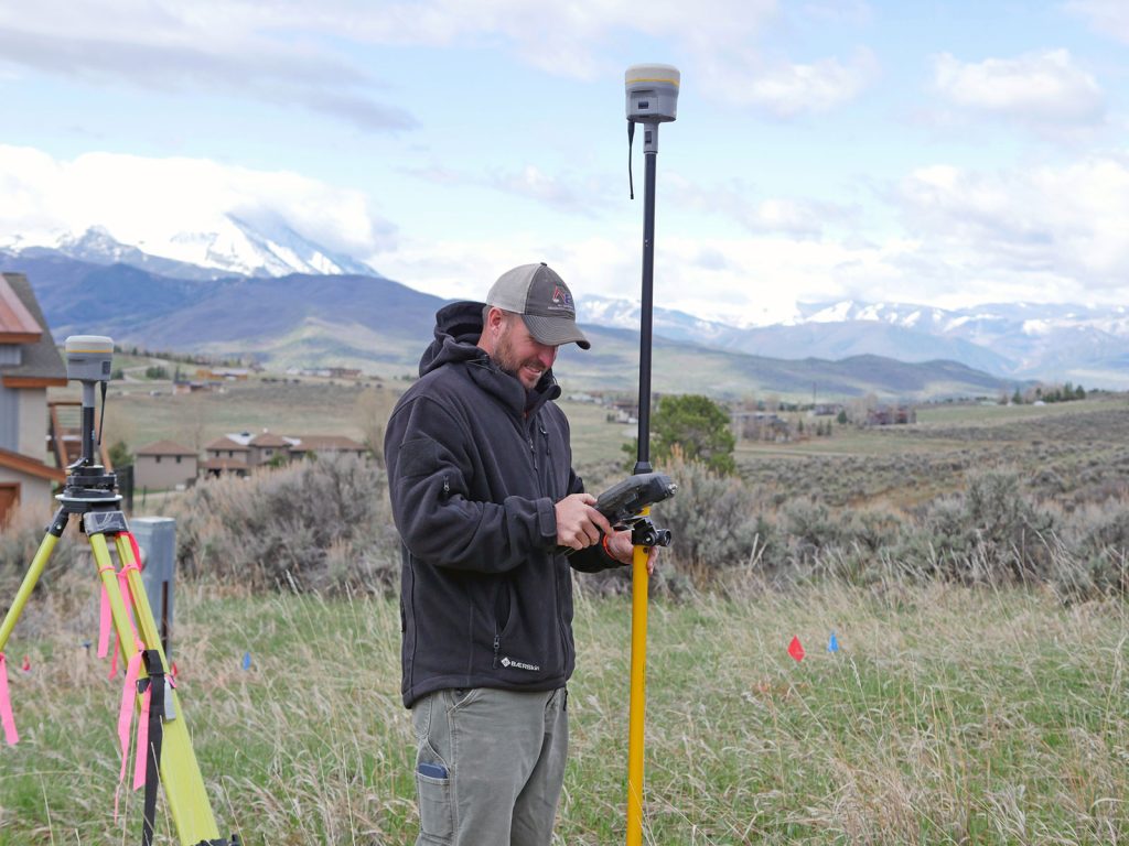
Some civil engineering firms, like ours, offer land surveying services alongside their engineering services to condense your points of contact into one.
When Civil Engineering Projects Need Land Surveys
Land surveys are required at various stages of civil engineering projects. There are many types of land surveys that can be conducted, but the most common are boundary, topographic, construction and as-built. They are often performed at four key points during a major project:
- Before construction begins, surveyors often conduct boundary surveys to establish property lines and identify any legal issues related to land ownership.
- During the design phase, topographic surveys can provide detailed information about the land’s surface, which is essential for creating accurate plans. Other surveys like floodplain surveys may also be conducted to look for potential environmental concerns.
- Throughout the building process, construction surveys are performed to ensure that structures are being erected according to the design specifications.
- After project completion, as-built surveys are conducted to verify that the project has been completed as planned.
However, if it is a smaller project such as a subdivision mapping or a private home project, there may only be a few of these surveys conducted.
Advantages of Civil Surveying Across Projects
Improved Safety
Civil surveying enhances safety by identifying potential hazards and ensuring that construction sites are suitable for building. Accurate surveys prevent errors that could lead to structural failures, reducing the risk of accidents and injuries.
Improved Efficiency
By providing precise data, land surveys streamline the design and construction processes. All the information is available upfront, avoiding delays while the construction team or design team looks for measurements or historical data. Engineers can avoid costly mistakes and delays by working with accurate information from the start, leading to more efficient project execution.
Improved Accuracy
Land surveyors use advanced technology to capture highly accurate measurements, which are critical for the success of civil engineering projects. This accuracy ensures that projects are built to exact specifications, avoiding costly rework and ensuring long-term stability.
How to Become a Civil Surveyor
Becoming a civil surveyor requires a strong foundation in mathematics, geography, and engineering principles. Most surveyors hold a degree in surveying, civil engineering, or a related field. Additionally, they must obtain licensure, which typically involves passing a series of exams and gaining work experience under the supervision of a licensed surveyor. Continuing education is also important, as surveyors need to stay updated on the latest technology and regulations in the field.
Expert Civil Surveyors in the Roaring Fork Valley
For those in the Roaring Fork Valley, our expert civil surveyors at Roaring Fork Engineering are available to assist with a wide range of projects. Our professionals have extensive experience in the Colorado area and are well-versed in the specific challenges and requirements of the region. Whether you need a boundary survey, topographic survey, or construction survey, our team is equipped to provide the accurate data and insights necessary for successful project completion. Get in touch with us today to discuss your next project.