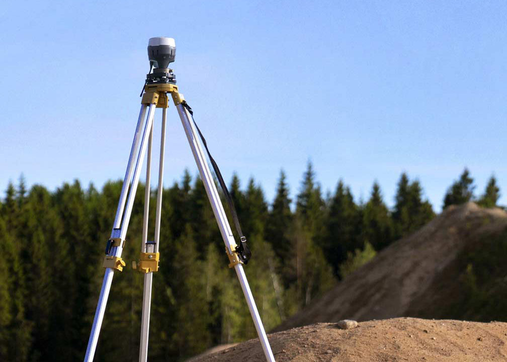
Land surveying is a specialized profession that involves the measurement and mapping of the earth’s surface. It is a critical process in various fields such as engineering, construction, and real estate, as it provides valuable information about land boundaries, contours, and topographical features.
At its core, land surveying involves the use of advanced tools and techniques to collect and analyze data about the earth’s surface. This data is then used to create detailed maps and reports that help in making informed decisions related to land development, property ownership, and resource management.
There are several types of land surveying, including:
- Boundary Surveying: This type of surveying focuses on determining the exact location of property lines and establishing the legal boundaries of a given parcel of land. Boundary surveys are often required when buying or selling property, constructing fences or buildings, and resolving disputes between neighbors.
- Topographic Surveying: Topographic surveys aim to capture the three-dimensional features of the land, including its elevation, slopes, and natural and man-made structures. These surveys are crucial for civil engineering projects, environmental assessments, and urban planning.
- Construction Surveying: Also known as engineering surveying, this type involves the collection of data necessary for the design, planning, and execution of construction projects. Construction surveyors ensure that buildings, roads, and other infrastructure elements are built according to the approved plans and specifications.
- Geodetic Surveying: Geodetic surveying deals with the measurement and representation of the earth’s surface on a large scale. This type of surveying takes into account the curvature of the earth and is essential for creating accurate maps, determining land areas, and conducting geographical studies.
- Hydrographic Surveying: As the name suggests, hydrographic surveying pertains to the study and mapping of bodies of water, including oceans, lakes, rivers, and coastal areas. Hydrographic surveyors collect data on water depth, tides, currents, and the underwater terrain to aid in navigation, environmental studies, and resource exploration.
Land surveyors are skilled professionals who combine their knowledge of mathematics, geography, and engineering principles to provide accurate and reliable information about the earth’s surface. By doing so, they play a crucial role in land development, property management, and environmental conservation.
Looking for a Land Surveyor?
Land surveying is an essential discipline that serves as the foundation for various industries and projects. Its diverse applications ensure accurate measurements, informed decision-making, and sustainable development. At Roaring Fork Engineering, we take pride in offering a comprehensive range of land surveying services tailored to meet the unique needs of our clients. Our team of experienced professionals are equipped with the latest tools and techniques, ensuring quality results in every project. Whether you require boundary, topographic, construction, geodetic, or hydrographic surveying, Roaring Fork Engineering is here to provide you with accurate, reliable, and efficient solutions. Contact us today to discuss your land surveying needs and discover how our expertise can make a difference in your next project.

