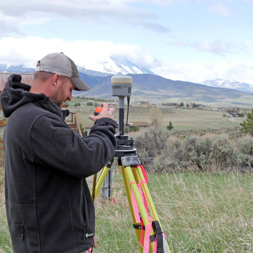
Land surveying involved measuring and mapping the world’s surface. It’s a vital first step for most engineering and construction projects — at a very minimum to ensure your site is suitable for your requirements.
Today, surveying is used for many different purposes, including identifying boundaries, capturing three-dimensional features of the land, collecting data for construction projects, analyzing data, and developing maps. Much of this work is aided by technology. Tools like 3-D scanners and systems supported by satellite imagery are commonplace.
However, land surveying has a long history — one that includes many familiar names. Here are 9 historically significant figures you might not realize were involved in surveying efforts.
1. George Washington
Before he rose to political prominence in the Revolutionary War and became the country’s first president, George Washington was a land surveyor by trade. He received a formal education that included both studying texts and practical experience in surveying. According to Mount Vernon’s official website, George Washington documented the settlements along Virginia’s western frontier in addition to other surveys. He even included a copy of a surveying guide in his library.
2. Thomas Jefferson
Thomas Jefferson also played a role in mapping Virginia’s nebulous western countryside — though his surveying experience was for personal use rather than his profession. He spent time mapping his estate in Albemarle County in the foothills of the Blue Ridge Mountains, now home to Charlottesville. According to Monticello’s official website, surveying in the late 1700s and early 1800s, the common tools included standard-length chains and a specialty compass to measure angles, called a circumcenter. However, Jefferson was an innovator, and he used a sophisticated instrument called a Theodolite that measured angles in both horizontal and vertical planes — useful for determining elevation.
3. Abraham Lincoln
Prior to his presidency, Abraham Lincoln held many jobs, including storekeeper, bartender, postmaster, and surveyor. In the mid-1833s, he accepted a job as a surveyor with no prior experience,and committed to learning on the job. Though he only practiced for a few years, he completed surveys for governmental and private use on roads, farms, and unsettled land that was becoming the subject of boundary disagreements as populations in the western states ballooned. Many of his surveys have been lost or destroyed, but a handful still exist today, often within the families of the original landowners.
4. Daniel Boone
Who would have thought that a pioneer and frontiersman would also be a surveyor? For Daniel Boone at least, it turns out the skills are quite similar. Though he did work as an American surveyor in Kentucky after the Revolution, the surveying he’s best known is founding the Wilderness Road from Pennsylvania into Kentucky, which became a well-traveled route in the 18th century. Though this may have been more of an exploratory expedition, his trailblazing was akin to a construction survey as the route eventually became a road for wagons and now coincides with modern highways.
5. Lewis & Clark
Lewis and Clark are known for their expedition to survey the United States after the Louisiana Purchase. The federally-funded trip intended to result in a map of the Pacific Ocean and understand the possibilities for communicating via waterways. They used compasses, sextants, telescopes and a chronometer watch as their tools to navigate, measure, and document the landscape as they crossed approximately 8,000 miles of unfamiliar terrain over two years.
6. George Everest
We had to include a non-American land surveyor on this list, just for the name alone! Although its name would indicate otherwise, George Everest has no connection with the eponymous mountain, other than being on the record stating his belief that it’s the highest peak in the world. He was a prolific surveyor in the early 1800s and served as the General Surveyor of India for over a decade. His accomplishments include work on a survey across the Indian subcontinent that took nearly 65 years to complete.
7. Benjamin Banneker
Benjamin Banneker’s main profession was publishing almanacs, but he was an influential surveyor that assisted in the design of Washington D.C. in 1790, shortly after it was decided to be the nation’s capital. His strongest skillset was astronomy, and his knowledge of the stars allowed him to find precise angles and calculate the exact measurements that enabled the execution of the complex urban design.
Modern Land Surveying … and RFE’s Own Famous Surveyor

The landscape has obviously changed, in a lot of ways for the better. We now have technology that allows us to be more efficient and accurate, and measure things that the founding fathers would have never dreamed of. Plus, surveying found its way onto the screen on National Geographic’s show “Diggers” — one episode even featured our survey manager Kyle!
But without early land surveyors (or the engineers who relied on their findings), modern construction and infrastructure would look much, much different. These famous surveyors did it without modern technology, using knowledge above all else — which is a good reminder to engineers and surveyors that the pursuit of knowledge is what moves our industry forward!
From the earliest days of settlements to now, land surveying is a vital foundation for engineering and construction efforts. Learn more about the different types of land surveys and how we approach our projects or contact the surveying team here at RFE to discuss your project needs in western CO.